
This post originally appeared on our sister site MyWallingford.
Tracking the progress of your favorite local potholes just got easier. The Seattle Department of Transportation has launched a Pothole Status Map, where you can see all the city’s potholes that have been reported and the ones that have been filled since March 15, 2010.
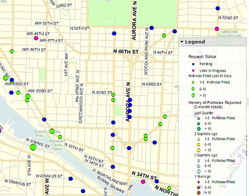
The SDOT webpage about Seattle’s street pits said that crews called “pothole rangers” filled 2,584 potholes in December 2010.
Don’t see your pet pothole on the map? Use this form to report potholes and other non-emergency problems (minor street repairs, malfunctioning traffic signals, damaged street signs) to SDOT.